
Otipi Road Trail

Otipi Road Trail
 GradeAdvanced
- Time 4-8 hrs
- Distance 38kms
Today, the road is little-used aside from hunters, fishers, 4WD'ers, and cyclists. While Otipi Road Trail is not Motu Trails, it’s a superb, challenging adventure that showcases sensational forest: you might hear kaka, long-tailed cuckoos, warblers, and kererū along the way. You must be prepared and take care on this ride as, at the far end, you're a very long way from the nearest house and over 60km from Ōpōtiki.
To get to Otipi road, take the Motu Road and turn off at Toatoa onto Takaputahi Road. From Toatoa, the 11km to Whitikau Forks is a flat, narrow gravel road.
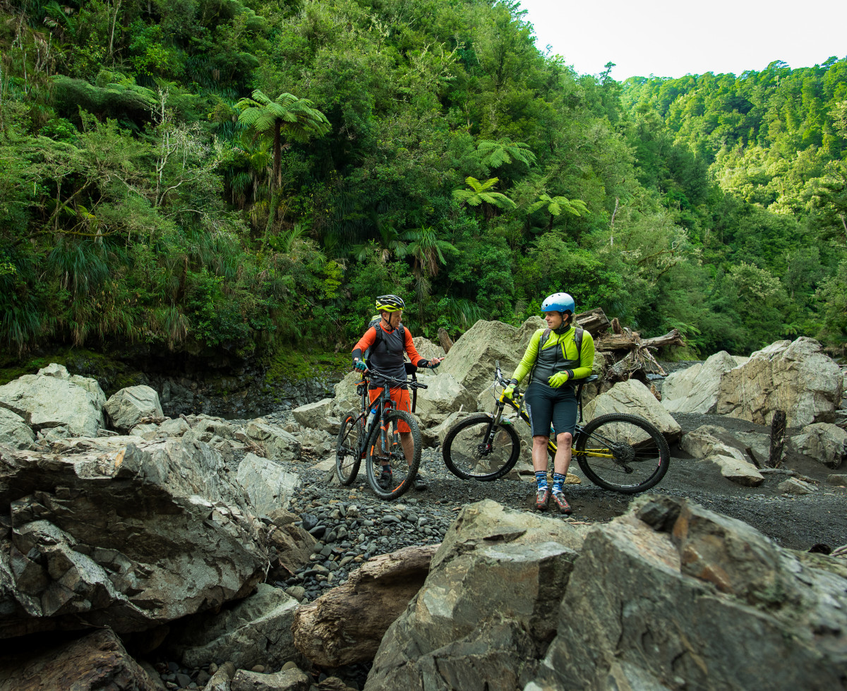
At Whitikau Forks you walk across the river (impassable in high water) to Otipi Road and the climbing starts immediately.
Otipi Road is a 4WD track the whole time. It gets broken in places but mostly is well-formed. The climbing is steep: at times you may well be walking.
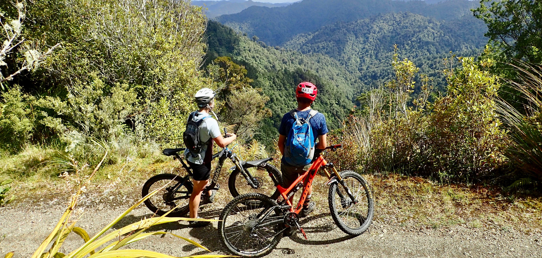
The main climb from Whitikau Forks to Otipi peak is about 4 kilometres long. There are then big ups and downs before a drop of about 600 vertical metres to the Motu River. The only way out is the way you came in.
The total elevation from Whitikau Forks to the Motu River and return (38 kilometres) is 2600 metres.
In the 1950s-1960s, hopes were to construct up to four dams on the Motu River. Otipi road was cut in to access one of the dam sites.
The road was restored in the late-1970s for a second round of explorations and restored again around 2012. It’s had no recent repair work.
DOC’s Whitikau Forks campsite is right at the Otipi road start, at the confluence of the Whitikau stream and Takaputahi river – it’s a great place to camp before or after your ride.
At the far end of Otipi Road (Motu River), there are grassy flats to camp on, but no services other than a long-drop toilet.
In January 2019, a 4WD vehicle with good clearance could get to about 2km from the Motu River. Quad bikes could get to the river but not cars.