Motu Road Trail
Motu Road Trail
 GradeIntermediate
- Time 1-2 days
- Distance 67kms
The Motu Road was part of the first vehicle road between Gisborne and the Eastern Bay of Plenty, with the first car making the journey in 1915. In the 1980s and 90s it was a famed annual feature of the World Championship Rally of New Zealand event: the world’s best rally drivers found its narrow, twisting nature one of their toughest challenges. However, on a bicycle, it’s a brilliant and beautiful ride – and perfect for e-bikes if you have battery capacity.

You can ride the Motu Road from either direction: from the coastal Dunes Trail, or, from inland at Matawai/Motu. You get more downhill riding by starting from Matawai/Motu. It’s 67 kilometres from Matawai to the coast, including 48km of gravel, and the hills peak at almost 800 metres altitude.
The following describes the ride from Matawai heading north to the coast.
At Matawai, you can stay or refuel at Matawai Café & Store, and ride past the closed-yet-iconic Matawai Hotel. From Matawai to Motu it’s 14 kilometres on slightly downhill sealed road. A few kilometres before Motu, you’ll see the Moutohora railway bridge, a remnant of a railway that once stretched from Gisborne and was planned to connect on to Taneatua and Tauranga. The Motu river channel has since moved, and the railway bridge spans grassy pasture.
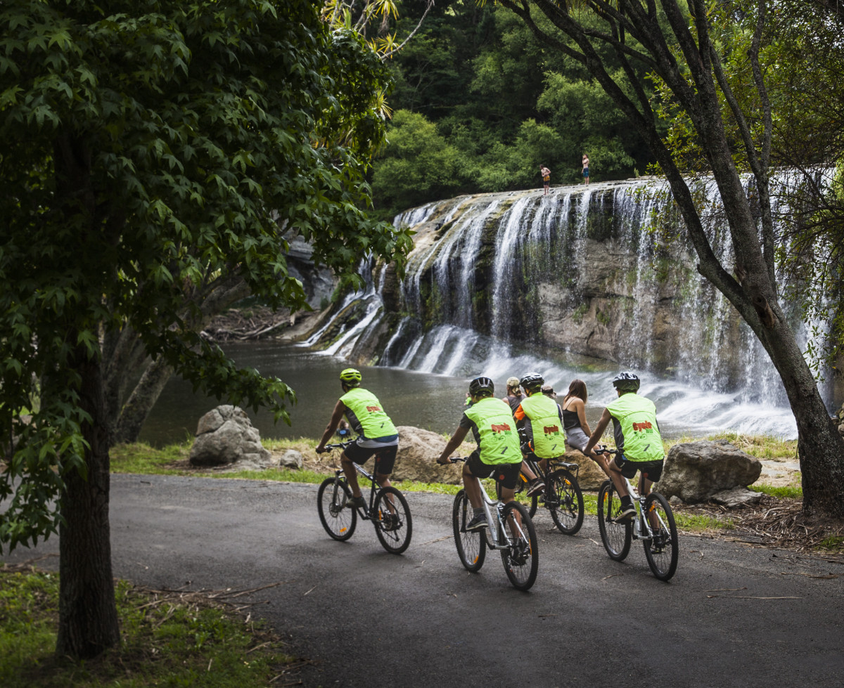
Motu has a shelter, toilets and cafe. Motu Community House and The Weka Nest are ideal places to stay. There is also a park-over by the shelter, for self-contained vehicles only. It's well worth making the 5 kilometres (10 kilometres return) side trip to the stunning Motu Falls, from where you can walk in the magnificent forest of Whinray Scenic Reserve. If you have children, driving to Motu can be a fun overnight family adventure.
When you leave Motu, riding towards Ōpōtiki, you’ll almost immediately climb for more than 5 kilometres, broken up by some short descents. While you climb a total of over 300 metres altitude, it is never too steep and the views over Motu valley are brilliant.
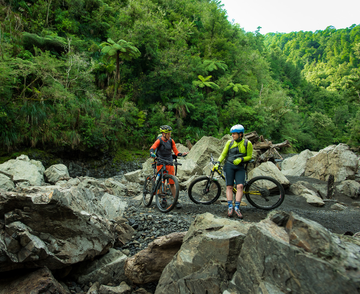
Almost at the Motu Hill Summit (Onukuroa) there’s a shelter and shuttle drop-off point. From here it's 9 kilometres of twisting, mostly downhill riding to the Pakihi Track turnoff. Along the way, you pass some towering native trees and get spectacular panoramas of rugged forest hills.
After passing the top of the Pakihi Track, you drop into the Whitikau Valley, then promptly start another climb up Papamoa Hill, where there is a shelter at the top (elevation 660 metres). This is a large climb but never steep.
There's a fantastic 3.5 kilometre long descent off Papamoa, dropping 250 metres to Toatoa valley (it's a tough climb the other way!). The valley has a ford, often about ankle deep in water during winter. The ford is impassable after very heavy rain.
At the junction of Motu Road and Takaputahi Road there is a shelter. Carry on along Motu Road, after a few undulations, the kilometre-long climb of Meremere hill begins.
Stop at the hilltop shelter, where there's a fantastic view. Then plunge 6 kilometres, and 350 metres altitude, to the base of Meremere hill. (Riding inland from the coast, Meremere is a big climb, that takes most riders 35-75 minutes or more)
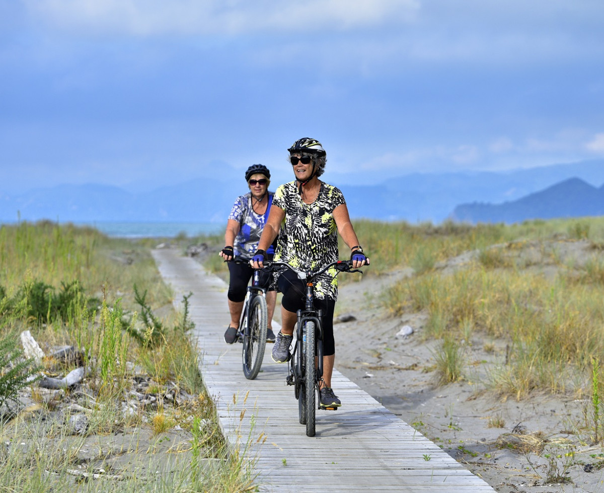
From the base of Meremere it's 14km to the coast. Along the way, the forest gradually switches to farmland. You still have a few pinchy climbs, and there's often a head breeze. The seal resumes 4 kilometres from the coast, where you cross State Highway 35 and head onto the Dunes Trail.
The Motu Road (sometimes called Old Motu Coach Road) was the first vehicle crossing of Eastland, and from 1914 was the only direct way to drive between Ōpōtiki and Gisborne for 15 years.
The first driver to take a motorcar the length of the Motu Road was in 1914, when there were a dozen river crossings and many slips: the driver told the Poverty Bay Herald that “it is the most dangerous trip in New Zealand, and he would not take it on again, except in case of urgent business.” Still, the road was lauded for its amazing natural beauty with lush forest views from the tops, high country farms, and remote settlements.
Toatoa is midway on the Motu Road. During the land wars of the 1860s, Ngati Rua iwi took refuge in this area. Settlers moved to Toatoa from 1895, with much of the forest cleared by burning.
After the present-day Motu Road was connected, tearooms at Toatoa briefly offered a resting point for travellers. People would take the train from Gisborne to Moutohorā, near Matawai, and spend the night at the Motu Hotel, before catching the next day’s service car to Ōpōtiki. Toatoa also had a dairy factory, and a settlers' hall that is still standing.
Once the Waioeka Gorge road opened up in 1929/1930, offering an easier route, the Motu Road was instead mainly used for mustering, funnelling hundreds of thousands of sheep between the regions. Roll on the 1980s and 1990s, when the Rally of New Zealand was part of the world championship series, the Motu Road became one of the world’s great rally stages, challenging even the greatest drivers.
The 1990s also brought the Motu Challenge, one of New Zealand’s toughest multisport races, involving biking, running, and kayaking, an event that continues to this day.
- Matawai is one hour's drive from both Ōpōtiki and Gisborne on SH2; another 15 minutes' drive to Motu.
- There is little mobile coverage and no shops between Motu and Ōpōtiki.
- If driving the Motu road, a 4WD is advised.
- Shuttle transport is available with Cycle Gisborne, Motu Trails Hire & Shuttle, and, Motu Trails Ltd (minimum numbers apply).
- Between Motu and Whitikau Valley and also on the northern 10km of Motu Road, you may encounter logging trucks, if you do, pull over and let them pass.
- There is usually very little traffic on the Motu Road. Out of peak periods, you may only see one or two cars per hour. However, always remember the road is open. Keep left and be prepared to stop at all times. At some peak periods, there may be considerably more traffic, perhaps 10 or 15 vehicles per hour.
- Take water with you. Many people also drink from a small stream halfway up the northern side of Papamoa Hill, 8km before the Pakihi junction.
- Take warm clothes, as the weather can be challenging.
- Guided and supported tours are available with Cycle Gisborne.
- The ride is mapped on the Great Rides App, download the map before you begin as mobile coverage is almost non-existent on the Motu Road Trail.


